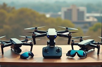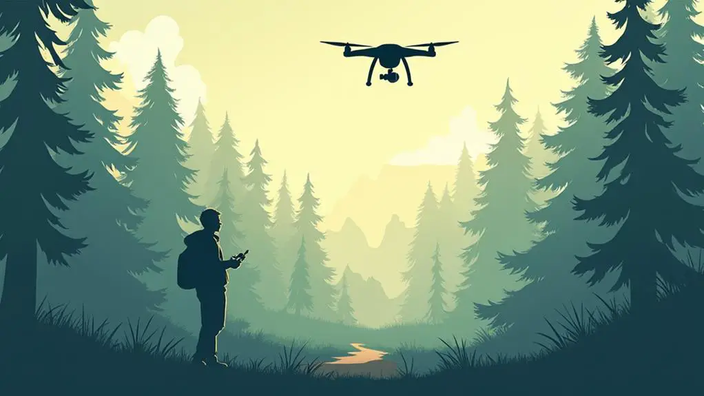
As the phrase ” needles in a haystack” comes to mind, you’re left scrounging the terrain for a glimpse of your lost drone. Losing a drone can be a frustrating and costly experience, but it’s not a hopeless one. With a clear head and a methodical approach, you’ll be well on your way to reuniting with your lost device. By following a few vital steps, you can substantially increase the chances of recovery. But where do you start, and what are the key actions to take in those critical first moments after the loss?
Contents
Key Takeaways
- Assess the crash site, noting terrain, weather, and debris to gather information about the crash.
- Track the drone’s last location using GPS data, remote control, or third-party software.
- Conduct a systematic ground search, expanding the radius and using visual aids like binoculars.
- Utilize drone radar apps and GPS mapping to pinpoint the drone’s location and scan for signals.
- Contact local authorities, providing a detailed description of the drone to aid in the search.
Assess the Crash Site
When you arrive at the crash site, evaluate the area carefully to gather as much information as you can.
Take note of the terrain, weather conditions, and any obstacles that may have contributed to the crash.
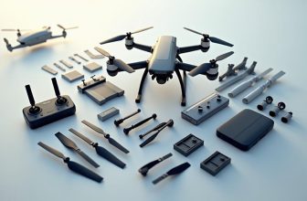
Begin by conducting a debris analysis, examining the wreckage to determine the extent of the damage.
Identify and document the location of the drone’s main components, such as the flight controller, motors, and propellers.
Next, create a site map to visualize the crash site and the location of the debris.
Use a grid system or a sketch to mark the position of each component and any other notable features.
This will help you to reconstruct the events leading up to the crash and identify potential causes.
Measure the distance between the debris and any obstacles, and note the direction of the impact.
This information will be vital in determining the next steps to take in recovering your lost drone.
Track the Drone’s Last Location
If you’ve evaluated the crash site thoroughly, you now have a solid foundation for the next step: tracking the drone’s last location.
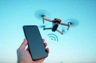
To track the drone’s last location, you’ll likely need to access its GPS data. Modern drones are equipped with GPS technology, allowing you to track their location history.
Check your drone’s remote control or mobile app to see if it has a built-in GPS tracking feature. Many drones and drone apps offer real-time tracking, so you may be able to view the drone’s last known location on a map.
If your drone doesn’t have a built-in GPS tracking feature, you can use third-party drone tracking software. These programs often integrate with the drone’s GPS system, providing you with location data and other flight metrics.
In addition to GPS data, you can also check the drone’s flight log to gain insight into its last flight path.
Search the Surrounding Area
Through a combination of GPS data and flight log analysis, you’ve likely pinpointed the drone’s last location.
With this information, it’s time to conduct a thorough search of the surrounding area. Begin by walking to the identified location and initiating a ground search. Systematically scan the area, paying attention to any potential obstacles or terrain features that may have interfered with the drone’s flight or landing.
Expand your search radius gradually, methodically exploring the area in sections. Keep your eyes peeled for any signs of the drone, such as broken propellers or other debris.
If the terrain permits, consider conducting an airborne scan using a secondary drone or other aerial platform. This can provide an elevated perspective, allowing you to scan the area from above and potentially spot the missing drone. Be sure to maintain a safe distance and follow all relevant aviation regulations during the airborne scan.
Use Visual Aids and Tools
To aid in the search for your lost drone, incorporate visual aids and tools to enhance your chances of success.
If your drone has a built-in GPS system, use GPS mapping to track its location. This feature can guide you to the drone’s last known location, making it easier to find.
Utilize drone radar apps to scan the surrounding area for any signals emitted by your drone.
These apps can detect the drone’s frequency and provide you with its location. Some apps also offer a map view, allowing you to pinpoint the drone’s location.
In addition to these tools, use binoculars to scan the area for any signs of your drone.
If you suspect the drone has crashed, look for debris or damage to nearby objects. Take note of any obstacles in the area, such as trees or power lines, which could be hindering your search.
Contact Local Authorities
Your local authorities can be a vital resource in locating your lost drone.
If you haven’t been able to find your drone using visual aids and tools, it’s time to contact them for assistance. Start by reaching out to your local Air Traffic Control (ATC) tower or aviation authority, as they may have received reports of a lost drone in the area.
Provide them with your drone’s make, model, and any distinctive features.
Next, contact your local Police Stations and file a report of your lost drone. They can also be a valuable resource in locating your drone, especially if someone has found it and turned it in.
Be prepared to provide a detailed description of your drone, including its serial number and any other identifying information.
Additionally, contact your local parks department or recreation authority if you were flying in a public park or recreation area.
They may have received reports of a lost drone or have it turned in to their lost and found.
Frequently Asked Questions: 5 Steps to Find a Lost Drone
Can I Recover Data From a Severely Damaged Drone?
You can attempt data recovery from a severely damaged drone by extracting files from a salvaged memory card or chip. Use specialized software for file extraction and send the chip for professional chip analysis, if needed.
How Do I Avoid Trespassing During the Search?
When searching for a lost item, you’ll need to navigate private property and land boundaries carefully. Research property lines online, use a GPS to track your location, and ask landowners for permission before entering their land.
Are There Laws Against Flying Drones Near Airports?
Imagine you’re a pilot steering a busy airspace – you must respect airport restrictions. You’ll find flight prohibitions near airports, typically within 5 miles, due to safety concerns and strict regulations, so always check local laws before flying.
Can I Claim Insurance for a Lost Drone?
You can claim insurance for a lost drone if you’ve purchased a policy covering loss or theft. Research your insurance policies to understand the claim process, required documentation, and any applicable deductibles or exclusions.
How Long Should I Wait to Start Searching?
You’re traversing uncharted territory, and timing is vital. Don’t wait more than 30 minutes to start searching; this wait period allows you to assess the situation. Gradually expand your search radius to maximize recovery chances.
Conclusion
You’ve followed the steps, and now it’s time to reunite with your lost drone. One last sweep of the area and you’ll have scoured every inch of the terrain – it’s a million-to-one shot, but it’ll be worth it when you finally spot your drone. By methodically evaluating the crash site, tracking its last location, and utilizing every tool at your disposal, you’ll substantially increase the chances of a successful recovery.