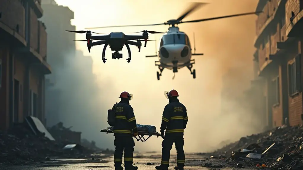
You’ve likely seen news footage of emergency responders using drones to assess damage after a natural disaster or search for missing people. But have you ever stopped to think about how drones actually aid emergency response efforts? From capturing high-resolution images to detecting specific hazards, drones provide critical data and insights in real-time. This information enables responders to allocate resources effectively and develop targeted protocols. But that’s just the beginning – the ways in which drones are revolutionizing emergency response are numerous, and their full potential is still being explored.
Contents
- 1 Key Takeaways
- 2 Types of Emergency Response Drones
- 3 Enhancing Disaster Response Efforts
- 4 Aerial Damage Assessment Techniques
- 5 Drone-Based Search and Rescue
- 6 Real-Time Data for First Responders
- 7 Identifying Potential Hazards Quickly
- 8 Drone Technology in Emergency Response
- 9 Improving Response Times and Efficiency
- 10 Future Applications of Drone Technology
- 11 FAQs: Drones in Emergency Response
- 12 Conclusion
Key Takeaways
- Drones aid emergency response by providing critical data, such as aerial damage assessment and search and rescue information.
- Equipped with high-resolution cameras and sensors, drones capture images and data on disaster areas, guiding emergency responders.
- Drones establish communication networks, maintain situational awareness, and allocate resources effectively in emergency situations.
- Autonomous navigation enables drones to quickly navigate complex environments, optimizing response times and minimizing damage.
- Real-time data sharing between emergency responders, facilitated by drones, enables informed decision-making and efficient coordination.
Types of Emergency Response Drones
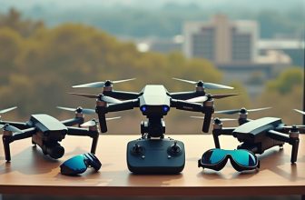
When responding to emergencies, you’re likely to encounter various types of drones, each designed to tackle specific tasks. These drones are typically categorized into three main groups: Private Drones, Public Drones, and Specialized Drones.
Private Drones are often used by individuals or small organizations for emergency response efforts, such as damage assessment and search and rescue missions. These drones are typically smaller and more agile, making them ideal for maneuvering tight spaces.
On the other hand, Public Drones are used by government agencies and large organizations for Public Surveillance and emergency response efforts. These drones are equipped with advanced sensors and cameras, allowing them to capture high-resolution images and transmit real-time data.
They’re often used for monitoring emergency situations, tracking natural disasters, and conducting search and rescue operations.
Specialized Drones, such as those equipped with thermal imaging cameras or sensors, are designed to detect specific hazards, like gas leaks or wildfires. Understanding the different types of drones and their capabilities is essential for effective emergency response efforts.
Enhancing Disaster Response Efforts
Effective disaster response efforts rely on timely and accurate information, allowing responders to quickly assess situations and allocate resources accordingly. When you integrate drones into your crisis management strategy, you can gather critical data and enhance response efforts.
Drones equipped with high-resolution cameras and sensors can capture images and data on the disaster area, providing valuable insights for emergency responders.
You can utilize this information to develop targeted emergency protocols, allocating resources and personnel more effectively. By using drones to assess the situation, you can identify the most critical areas of need and prioritize your response efforts.
This not only streamlines the response process but also minimizes the risk of further damage or harm to people and property. Additionally, drones can help you establish communication networks and maintain situational awareness, ensuring that all stakeholders are informed and up-to-date.
Aerial Damage Assessment Techniques
Aerial damage assessment is a critical component of disaster response, and drones have become increasingly valuable in this process. You can use drones to quickly survey damaged areas and gather vital data for relief efforts.
One technique used in aerial damage assessment is aerial photogrammetry, which involves taking overlapping photographs of a scene and stitching them together to create detailed 2D or 3D models of the area. This allows you to assess the extent of damage and identify priority areas for response.
Another technique used in aerial damage assessment is Infrared imaging. By using thermal sensors, you can detect heat signatures and identify potential hazards such as fires or gas leaks. Infrared imaging can also help you detect structural damage to buildings and infrastructure.
When combined with aerial photogrammetry, Infrared imaging provides a thorough view of the damage, allowing you to make more informed decisions about response efforts. By using drones equipped with these technologies, you can quickly and safely assess damage and prioritize response efforts. This enables more efficient allocation of resources and better outcomes for affected communities.
Drone-Based Search and Rescue
When responding to emergencies, you can utilize drones to rapidly assess aerial situations, substantially reducing the time it takes to gather critical information.
By leveraging drone-based search and rescue capabilities, you’ll enhance your situational awareness, allowing for more informed decision-making in emergency situations.
This rapid aerial assessment and enhanced situational awareness can be the difference between life and death in search and rescue operations.
Rapid Aerial Assessment
In emergency response situations, you’re often faced with limited time and uncertain conditions, making every minute count in the search for missing people or evaluating damage. That’s where drones come in, equipped with advanced sensors and high-resolution cameras to facilitate Rapid Aerial Assessment.
By deploying drones, you can rapidly inspect disaster zones, conduct Aerial Surveyance, and gather vital data on the situation on the ground.
Drones are ideal for Rapid Inspection, as they can quickly survey large areas, navigate through tight spaces, and access remote or hard-to-reach locations.
Equipped with thermal imaging cameras, they can detect heat signatures, helping to locate missing people or identify potential hazards such as fires or gas leaks. Additionally, drones can capture high-resolution images and videos, providing valuable information on the extent of the damage and helping you to prioritize response efforts.
Enhanced Situational Awareness
Building on the rapid assessment capabilities of drones, Enhanced Situational Awareness is achieved through the strategic use of drone-based search and rescue operations.
You can leverage drones equipped with various sensors and cameras to gather critical information in emergency response scenarios. By integrating data from these sources, you can create an exhaustive picture of the situation, enabling more informed decision-making.
Enhanced Situational Awareness is further augmented by Predictive Modeling, which allows you to anticipate and prepare for potential risks and outcomes.
By analyzing historical data and real-time information, you can identify patterns and trends that inform your response strategy. Autonomous Systems, such as drones with autonomous navigation capabilities, also play a vital role in Enhanced Situational Awareness.
These systems can quickly adapt to changing situations, providing real-time updates and insights that aid in effective decision-making.
Real-Time Data for First Responders
Within the domain of emergency response, real-time data plays a critical role in informing first responders‘ decisions. You rely on this data to assess the situation, prioritize tasks, and allocate resources. Drones can provide this critical information by capturing and transmitting data in real-time.
When a drone is deployed during an emergency, it can collect various types of data, including video, images, and sensor readings.
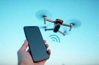
This data is then transmitted to the cloud services, where it’s processed and analyzed to provide actionable insights. You can access this information through a secure online portal or mobile app, allowing you to make informed decisions quickly.
The reliability of this data is vital for effective emergency response.
To guarantee data reliability, drones are equipped with redundant systems and backup power sources. Additionally, data transmission protocols are designed to minimize latency and packet loss, guaranteeing that you receive accurate and up-to-date information.
Identifying Potential Hazards Quickly
When responding to emergencies, you need to identify potential hazards quickly to guarantee the safety of first responders and the public.
Real-time visual evaluations are vital in this process, and drones equipped with high-resolution cameras and sensors can provide immediate situational awareness.
Real-Time Visual Assessments
A key advantage of drones in emergency response is their ability to rapidly converge on a disaster site, providing you with real-time visual assessments of the situation. This enables you to quickly identify potential hazards and make informed decisions about the response efforts.
When conducting real-time visual assessments, it’s vital to take into account visual limitations, such as the drone’s field of view, resolution, and lighting conditions.
Environmental considerations also play a vital role in real-time visual assessments. Weather conditions like fog, heavy rain, or intense sunlight can impact the quality of the visual data.
Furthermore, the presence of obstacles like trees, buildings, or power lines can limit the drone’s line of sight. To overcome these challenges, you can use drones equipped with advanced sensors, such as thermal or multispectral cameras, which can provide additional information about the environment.
Additionally, using multiple drones or complementary sensors, like satellite or ground-based sensors, can help fill in gaps in the visual data, providing a more thorough understanding of the situation. By taking these factors into account, you can effectively utilize real-time visual assessments to inform your emergency response efforts.
Rapid Damage Evaluation
Converging on a disaster site quickly, drones enable you to rapidly assess damage and identify potential hazards. This accelerated evaluation process is critical in determining the scope of devastation and prioritizing response efforts.
By leveraging drones equipped with high-resolution cameras and sensors, you can gather detailed visual data on affected areas, structures, and infrastructure.
You can use this data to identify specific hazards, such as downed power lines, gas leaks, or structural instability, allowing you to allocate resources more effectively and guarantee a safer response environment.
Additionally, drones can help you assess environmental impact by monitoring water quality, detecting oil spills, or tracking the spread of wildfires.
The rapid damage evaluation facilitated by drones also expedites the insurance claims process. By providing thorough and accurate visual documentation of damage, you can accelerate the assessment and processing of claims, reducing the administrative burden on insurance companies and enabling policyholders to receive compensation more quickly.
This streamlined process ultimately benefits both individuals and communities affected by disasters.
Drone Technology in Emergency Response
Drone technology’s versatility in emergency response environments stems from its unique combination of autonomous flight capabilities, sensor arrays, and real-time data transmission.
When you deploy drones in emergency situations, you can collect and transmit critical data quickly, which helps responders make informed decisions.
To guarantee safe and efficient drone operations, you must comply with drone regulations. Familiarize yourself with local and national laws, such as those set by the Federal Aviation Administration (FAA), to avoid any potential hazards or penalties.
For instance, drone pilots must maintain line-of-sight contact with the drone and avoid flying in restricted airspace.
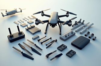
Regular drone maintenance is also vital to prevent malfunctions and extend the device’s lifespan.
You should inspect the drone’s airframe, propellers, and sensors before each flight and perform routine software updates.
This attention to detail helps you identify and address potential issues before they become major problems, guaranteeing that your drones remain reliable assets in emergency response situations.
Improving Response Times and Efficiency
When responding to emergencies, every minute counts, and optimizing response times is vital to saving lives and minimizing damage. You can substantially improve response times by deploying drones equipped with autonomous navigation.
This technology enables drones to quickly navigate through complex environments, such as disaster zones or dense forests, without manual intervention. Autonomous navigation also allows drones to detect and avoid obstacles, reducing the risk of accidents and increasing overall efficiency.
Standardized protocols play a critical role in ensuring seamless integration of drones into emergency response operations. By establishing clear guidelines for drone deployment, operation, and data transmission, you can minimize confusion and maximize the effectiveness of your response efforts.
Standardized protocols also facilitate real-time data sharing between emergency responders, enabling them to make informed decisions and coordinate their efforts more efficiently. By combining autonomous navigation with standardized protocols, you can notably enhance your response times and overall efficiency, ultimately leading to better outcomes in emergency situations.
Future Applications of Drone Technology
Advances in sensor technology and artificial intelligence are propelling the development of more sophisticated drone systems, opening up new avenues for emergency response applications. As you consider the future of drone technology, you’ll see the potential for enhanced capabilities and innovative applications.
Drone swarming, for example, will enable multiple drones to work together in complex scenarios, providing real-time data and improving situational awareness. This technology can be particularly useful in search and rescue missions, where multiple drones can cover large areas quickly and efficiently.
Another area of development is nano drones, which are small enough to navigate through rubble or debris to locate survivors. These tiny drones can be equipped with advanced sensors and cameras, allowing them to transmit critical information back to emergency responders.
As you look to the future, it’s clear that drone technology will continue to play a crucial role in emergency response. With ongoing advancements in AI and sensor technology, the potential for drones to improve response times and save lives is vast and promising.
FAQs: Drones in Emergency Response
Can Drones Be Used in Extreme Weather Conditions?
You’re considering drone usage in extreme weather conditions, requiring weather durability and high wind resistance. Modern drones are designed to withstand harsh conditions, including heavy rain, strong winds, and extreme temperatures, ensuring stable operations.
Are Emergency Response Drones Regulated by Laws?
“Rules are rules,” as the saying goes. You’ll find that drone regulations vary globally, but most countries enforce drone liability and airspace restrictions, such as no-fly zones and altitude limits, to safeguard public safety and security.
What Maintenance Is Required for Emergency Drones?
You’ll need to conduct regular battery checks and propeller inspections for peak drone performance. This includes verifying battery capacity, charging cycles, and checking propellers for damage or wear to prevent malfunction and guarantee safe operation.
Can Drones Transmit Data to Multiple Responders?
As you navigate the complex web of emergency response, can you rely on drones to disseminate vital information to multiple responders? Yes, they can transmit encrypted data, providing real-time updates to those who need it most.
Are Emergency Response Drones Affordable for Small Teams?
You’ll find that drone financing options and small team budgeting can make aerial technology accessible. Many manufacturers offer leasing, rental, and subscription plans, allowing small teams to incorporate drones without breaking the bank initially.
Conclusion
You’re probably imagining a disaster scene with responders scrambling around, searching for missing people, and evaluating damage. Now picture the same scene, but this time with drones buzzing above, capturing every detail and feeding critical data to responders in real-time. It’s a game-changer. Drones are revolutionizing emergency response efforts, and it’s hard to envision going back to the old way. The future of disaster response is flying, and it’s here to stay.


