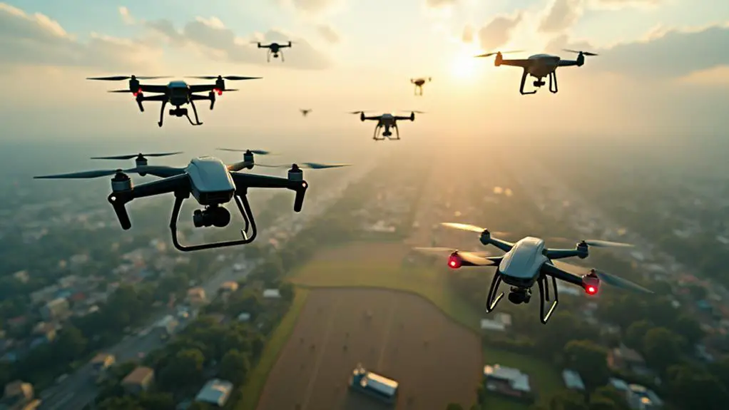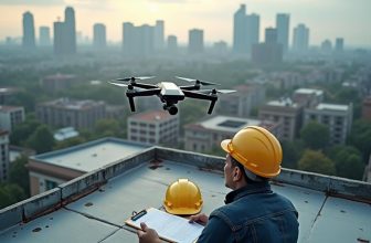
You may have noticed drones increasingly being used in various sectors, but do you know the full extent of their applications? From construction monitoring to environmental conservation, and from disaster response to film and photography, drones are revolutionizing the way industries operate. They’re not just limited to a few niche uses; their versatility has led to widespread adoption across multiple fields. But what exactly are the top 10 applications of drones, and how are they changing the game in each sector? Exploring these applications can reveal the vast potential of drones and their impact on industries worldwide.
Contents
- 1 Key Takeaways
- 2 Drones in Construction Monitoring
- 3 Environmental Conservation Efforts
- 4 Disaster Response and Recovery
- 5 Agricultural Mapping and Analysis
- 6 Infrastructure Inspection and Repair
- 7 Medical Supply Delivery Systems
- 8 Film and Photography Industry
- 9 Search and Rescue Operations
- 10 Real Estate and Property Mapping
- 11 Maritime Surveillance and Security
- 12 Frequently Asked Questions: Applications of Drones
- 13 Conclusion
Key Takeaways
- Drones apply across sectors, including infrastructure inspection, construction monitoring, environmental conservation, and delivery logistics.
- Aerial mapping technology benefits agriculture by monitoring crop health, predicting yields, and optimizing irrigation strategies.
- Drones transform medical logistics by delivering supplies to remote areas, increasing access to healthcare services.
- Maritime surveillance and security utilize drones to detect and track suspicious vessels, inspect port infrastructure, and monitor environmental factors.
- Drones enhance film and photography industries by capturing high-quality footage, accessing hard-to-reach areas, and minimizing environmental impact.
Drones in Construction Monitoring
Deployed in construction sites, drones have revolutionized the monitoring process, providing real-time data and insights that help you make informed decisions.
With their advanced sensors and high-resolution cameras, drones can capture precise site data, enabling you to track progress more effectively. They facilitate site surveys, inspecting areas that may be difficult or hazardous for humans to access.
Drones equipped with GPS and photogrammetry software can create detailed 3D models of the site, allowing you to monitor progress and compare it to the original plan.
This information is vital for progress tracking, as it helps you identify potential issues and make necessary adjustments. By leveraging drone technology, you can reduce the need for manual surveys, minimize errors, and increase the overall efficiency of the construction process.
The use of drones in construction monitoring also enables you to track changes over time, detecting any deviations from the planned schedule or budget.
This real-time data empowers you to make data-driven decisions, ensuring that your construction projects stay on track and within budget.
Environmental Conservation Efforts
You can utilize drones to monitor wildlife habitats and assess ecosystem health, which is vital in environmental conservation efforts.
Wildlife Habitat Monitoring
Wildlife habitat monitoring, a pivotal component of environmental conservation efforts, relies heavily on drones to gather essential data on ecosystems.
You can use drones equipped with high-resolution cameras and sensors to monitor wildlife habitats, track animal movements, and identify areas that require preservation.
This data helps conservationists develop effective strategies for habitat preservation, ensuring the long-term sustainability of ecosystems.
In animal tracking, drones provide a non-invasive method for monitoring wildlife behavior, population dynamics, and migration patterns.
By tracking animal movements, you can identify areas of high conservation value and develop targeted strategies to protect these areas.
Drones can also be used to monitor habitat health and detect early signs of degradation, allowing for prompt intervention and restoration efforts.
The use of drones in wildlife habitat monitoring is a cost-effective and efficient way to gather data on ecosystems.
By leveraging drone technology, you can make informed decisions about conservation efforts, ensuring the preservation of wildlife habitats for future generations.
With the ability to collect and analyze large datasets, drones are revolutionizing the field of wildlife conservation.
Ecosystem Health Assessment
Drones are increasingly being turned to for ecosystem health assessments, a crucial component of environmental conservation efforts.
You can utilize drones equipped with multispectral or hyperspectral sensors to assess ecosystem health. These sensors collect data on vegetation indices, such as the Normalized Difference Vegetation Index (NDVI), which measure plant biomass, vigor, and chlorophyll content.
By analyzing vegetation indices, you can identify areas of stress or degradation, which can inform conservation efforts.
Drones also help assess forest fragmentation, which is the breaking up of large forest areas into smaller patches.
Disaster Response and Recovery
In the aftermath of a disaster, every minute counts in the response and recovery efforts.
You can deploy drones to quickly assess damage, identify areas of need, and prioritize rescue operations. Drones equipped with high-resolution cameras and sensors can capture detailed images of affected areas, allowing you to assess the extent of damage and allocate resources effectively.
When it comes to flood mitigation, drones can be used to monitor water levels, track flood patterns, and predict potential flooding areas.
This information can be used to evacuate people, relocate critical infrastructure, and implement flood-control measures. Similarly, drones can be used for storm tracking, providing real-time data on storm movement, wind speed, and precipitation levels.
This data can be used to issue timely warnings, evacuate people, and prepare emergency response teams.
Drones can also be used to inspect critical infrastructure, such as bridges and power lines, and detect potential hazards, such as gas leaks and fires.
Agricultural Mapping and Analysis
Deploying aerial mapping technology, you can gain valuable insights into your agricultural operations, from crop health and soil moisture to yield prediction and precision irrigation.
This is particularly vital in today’s agricultural landscape, where data-driven decision-making can make all the difference in maximizing crop yields and reducing waste.
Agricultural mapping and analysis via drones can be applied in numerous ways.
Some of the top uses include:
- Crop monitoring: High-resolution images can help you identify issues such as pests, diseases, and nutrient deficiencies early on, enabling swift action to prevent damage.
- Soil analysis: Multispectral and hyperspectral imaging can provide detailed information on soil composition, moisture levels, and temperature, informing ideal irrigation and fertilization strategies.
- Yield prediction: By analyzing crop health and growth patterns, you can predict yields and make informed decisions about harvesting and pricing.
- Precision irrigation: Drones can help you identify areas of the field that require more or less water, reducing waste and maximizing water usage.
- Field mapping: Create detailed topographic maps of your fields to plan planting, spraying, and harvesting with precision.
Infrastructure Inspection and Repair
Effective management of infrastructure, including roads, bridges, and buildings, requires regular inspection and timely repairs to guarantee public safety and minimize maintenance costs.
You can use drones to inspect critical infrastructure, reducing the need for human climbers and minimizing risks.
Bridge Assessment, for instance, can be efficiently conducted using drones equipped with high-resolution cameras and sensors.
These drones capture detailed images and videos, allowing engineers to assess the bridge’s condition and identify potential issues.
In addition to bridges, drones are also used for Tower Inspection, such as cell towers, wind turbines, and power transmission lines.
Drones equipped with thermal imaging cameras and sensors can detect anomalies and defects, enabling you to schedule repairs before they become critical.
By using drones for infrastructure inspection and repair, you can reduce inspection time and costs, increase accuracy, and enhance public safety.
Moreover, drones can also be used to monitor construction progress and track changes in infrastructure over time.
This allows you to make data-driven decisions and prioritize maintenance activities.
Medical Supply Delivery Systems
Drones’ potential to transform various industries isn’t limited to infrastructure inspection.
They’re also revolutionizing the medical sector, particularly in medical logistics and supply chain management. Drones are being used to deliver medical supplies, such as blood, vaccines, and medications, to remote or hard-to-reach areas.
This application is especially vital in emergency situations where timely delivery of medical supplies can be a matter of life and death.
Some of the key benefits of using drones in medical supply delivery systems include:
- Reduced delivery time: Drones can travel faster than traditional ground transportation, reducing the time it takes to deliver medical supplies.
- Increased accessibility: Drones can reach remote or hard-to-reach areas, making medical supplies more accessible to those who need them.
- Cost-effectiveness: Drones can reduce the cost of medical supply delivery, especially in areas where traditional transportation methods are expensive or impractical.
- Improved supply chain management: Drones can help track and manage medical supplies, reducing waste and improving inventory management.
- Enhanced patient care: Drones can help guarantee that patients receive the medical supplies they need in a timely and efficient manner.
Film and Photography Industry
Capturing cinematic footage from unique angles and perspectives is now more feasible than ever, thanks to the advancements in drone technology.
You can now use drones to enhance your aerial cinematography capabilities, elevating your cinematic storytelling to new heights.
Drones offer numerous benefits in the film and photography industry, including increased flexibility, reduced costs, and improved safety.
With drones, you can capture high-quality footage in various formats, from 4K to high-speed video.
They also allow you to access hard-to-reach areas, reducing the risk of accidents and minimizing environmental impact.
When it comes to cinematic storytelling, drones can add an extra layer of visual complexity to your films.
You can use them to track subjects, capture sweeping landscapes, and create dramatic reveals.
Aerial cinematography has become an integral part of filmmaking, and drones have made it more accessible than ever.
By incorporating drones into your film and photography projects, you can tap into new creative possibilities and take your storytelling to the next level.
With the right skills and equipment, you can harness the full potential of drone technology to deliver stunning visuals and captivate your audience.
Search and Rescue Operations
When you’re developing a disaster response strategy, it’s vital to contemplate the role of drones in search and rescue operations.
You’ll find that drones can rapidly conduct aerial damage assessments, providing critical information on affected areas and enabling response teams to prioritize their efforts.
Disaster Response Strategy
In response to a disaster, time is of the essence in search and rescue operations, and having an effective disaster response strategy in place can substantially improve outcomes.
You’ll want to leverage drones to enhance your emergency planning efforts, particularly when it comes to flood mitigation.
Drones equipped with sensors and cameras can quickly survey the affected area, providing valuable insights that inform your response strategy.
When developing a disaster response strategy, consider the following key components:
- *Rapid Damage Assessment*: Drones can quickly survey the affected area, providing critical information on damage and potential hazards.
- *Search and Rescue Operations*: Drones equipped with thermal imaging cameras can help locate missing people, even in rubble or debris.
- *Communication Relay*: Drones can serve as communication relays, providing critical connectivity in areas where traditional communication infrastructure is damaged.
- *Flood Monitoring*: Drones can monitor floodwaters, providing real-time data on water levels, flow rates, and potential hazards.
- *Supply Chain Management*: Drones can transport critical supplies, such as food, water, and medical equipment, to affected areas.
Aerial Damage Assessment
Aerial Damage Assessment
Effective aerial damage assessment is essential for successful search and rescue operations.
You can utilize drones equipped with high-resolution cameras and sensors to quickly assess the extent of damage caused by natural disasters or other catastrophic events. This information is pivotal for prioritizing rescue efforts, allocating resources, and ensuring the safety of rescue teams.
Drones can capture detailed images of affected areas, allowing you to identify damaged buildings, roads, and infrastructure.
This data is also valuable for insurance claims, as it provides a clear record of the damage. Storm chasers, who track severe weather events, can also use drones to gather critical data on storm damage, helping to improve weather forecasting models.
Real Estate and Property Mapping
You frequently come across stunning aerial views of properties online, showcasing meticulously maintained lawns, sprawling backyards, and intricate architectural details.
These views aren’t just aesthetically pleasing; they’re also a vital marketing tool in the real estate industry. Drones play a significant role in capturing these aerial views, providing potential buyers with an immersive experience through virtual tours and aerial staging.
Drones equipped with high-resolution cameras and GPS systems can capture precise images of properties, allowing real estate agents to create detailed maps and 3D models.
This technology has revolutionized the way properties are marketed and sold.
- Creating interactive virtual tours to enhance buyer engagement
- Conducting aerial inspections to identify property damage or defects
- Developing 3D models and floor plans to showcase property layouts
- Capturing aerial photos and videos for marketing materials
- Measuring property boundaries and features using geospatial data
Maritime Surveillance and Security
Maritime surveillance and security operations rely heavily on drone technology to efficiently monitor vast oceanic expanses.
You’re likely to find drones deployed in Port Security and Coastal Patrol missions, where their capabilities offer a significant advantage over traditional surveillance methods. Equipped with high-resolution cameras, sensors, and advanced navigation systems, drones can detect and track suspicious vessels, monitor maritime traffic, and respond to potential security threats in real-time.
Drones also provide a cost-effective and efficient way to inspect port infrastructure, such as docks, piers, and cargo containers.
This helps to identify potential vulnerabilities and maintain a secure environment. Additionally, drones can be used to monitor oil spills, marine life, and other environmental factors that may impact maritime operations.
In Coastal Patrol missions, drones can cover vast areas quickly and accurately, detecting signs of smuggling, piracy, or other illicit activities.
Their ability to operate in challenging weather conditions and navigate through complex coastlines makes them an invaluable asset in maritime surveillance and security operations.
Frequently Asked Questions: Applications of Drones
What Are the Main Components of a Typical Drone System?
You’re likely familiar with drones, so let’s break down their main components. A typical drone system consists of a flight controller, propulsion systems, including motors and propellers, a power system, sensors, and a communication system, all working together.
Can Drones Operate in Extreme Weather Conditions?
You’re about to take your drone on a stormy ride. Literally. When it comes to operating in extreme weather conditions, you’ll need a drone with built-in weather resistance, perfect for storm chasing and harsh environments.
How Long Do Drone Batteries Typically Last?
You’ll typically find drone batteries lasting anywhere from 15-60 minutes, depending on factors like power efficiency and load. Battery life expectancy varies greatly, so it’s vital to choose a drone with a suitable power setup for your needs.
Are Drones Regulated by Specific Aviation Laws?
You navigate the drone landscape like a pilot charting unfamiliar airspace. Drones are indeed regulated by specific aviation laws, focusing on airspace security and requiring you to obtain flight permissions before taking to the skies.
Can Drones Be Used for Personal Recreational Purposes?
You can use drones for personal recreational purposes, such as capturing stunning aerial photography or participating in drone racing competitions, as long as you follow local regulations and safety guidelines to minimize risks and guarantee responsible flying.
Conclusion
You’ve witnessed drones dynamically driving change across diverse sectors. From capturing cinematic clips to charting critical infrastructure, these aerial assets bring unparalleled precision and proficiency. As drones continue to soar in sophistication, their multifaceted applications – from disaster response to real estate mapping – will indubitably redefine industries and revolutionize the way we work. With their cutting-edge capabilities, drones are poised to propel progress, providing unparalleled insights and innovative solutions.


